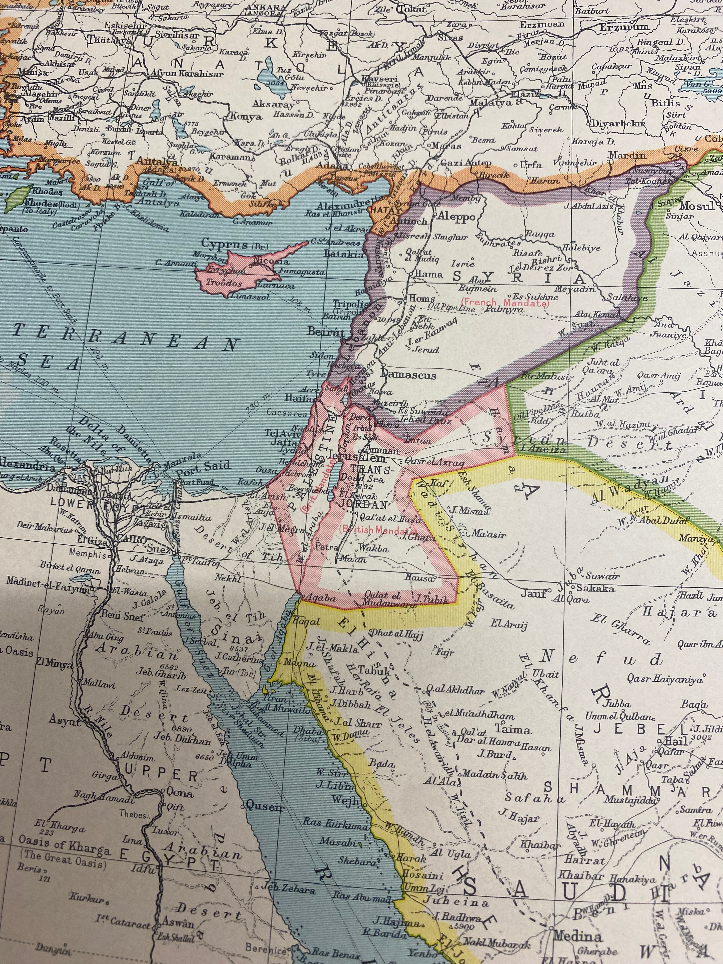
In London, I saw for sale a physical printed map from 1942 of the Middle East (the map says it is of India and SW Asia). Here is a shot of part of the map:
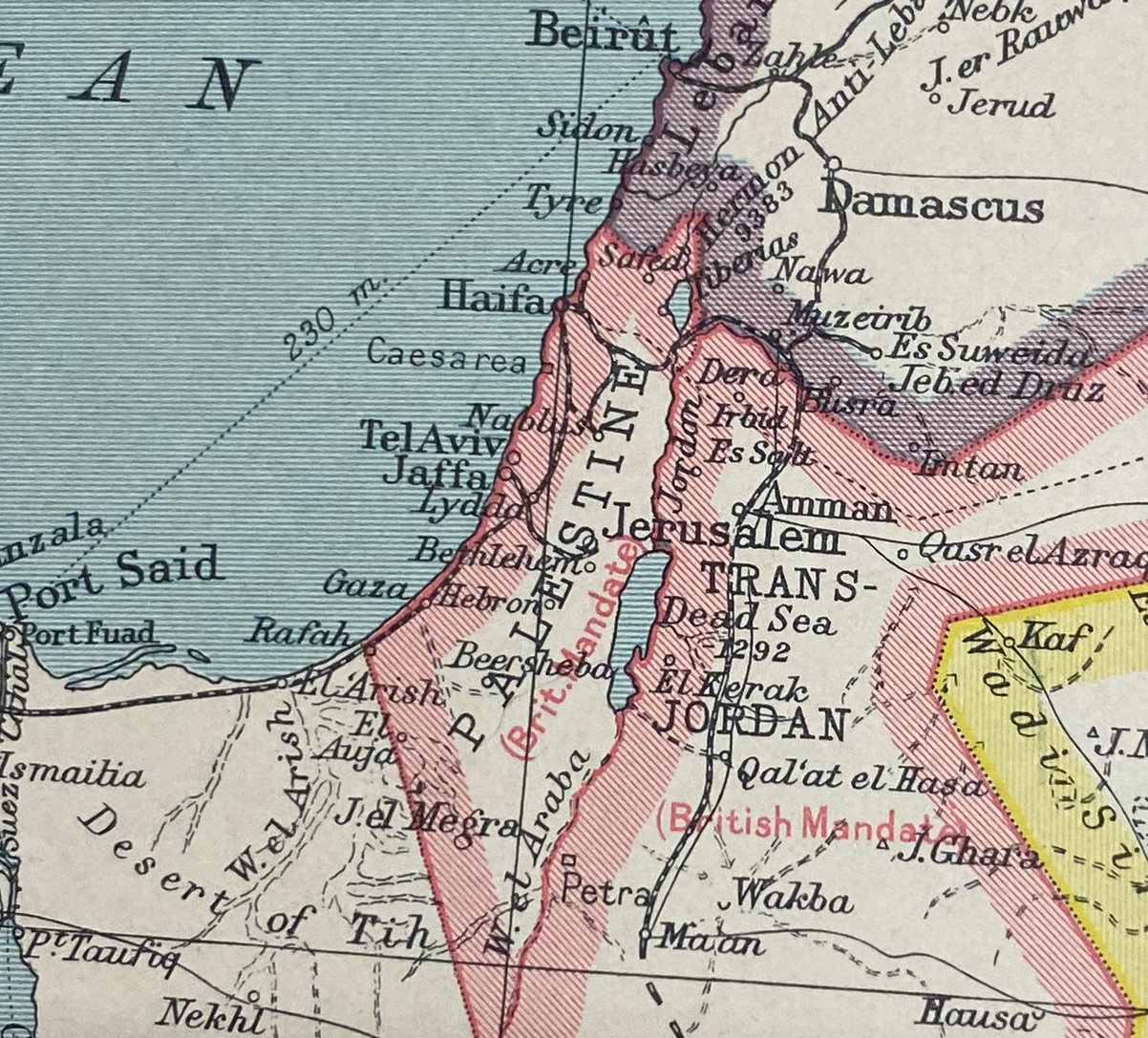
Here is a close-up of the area now known as Israel:
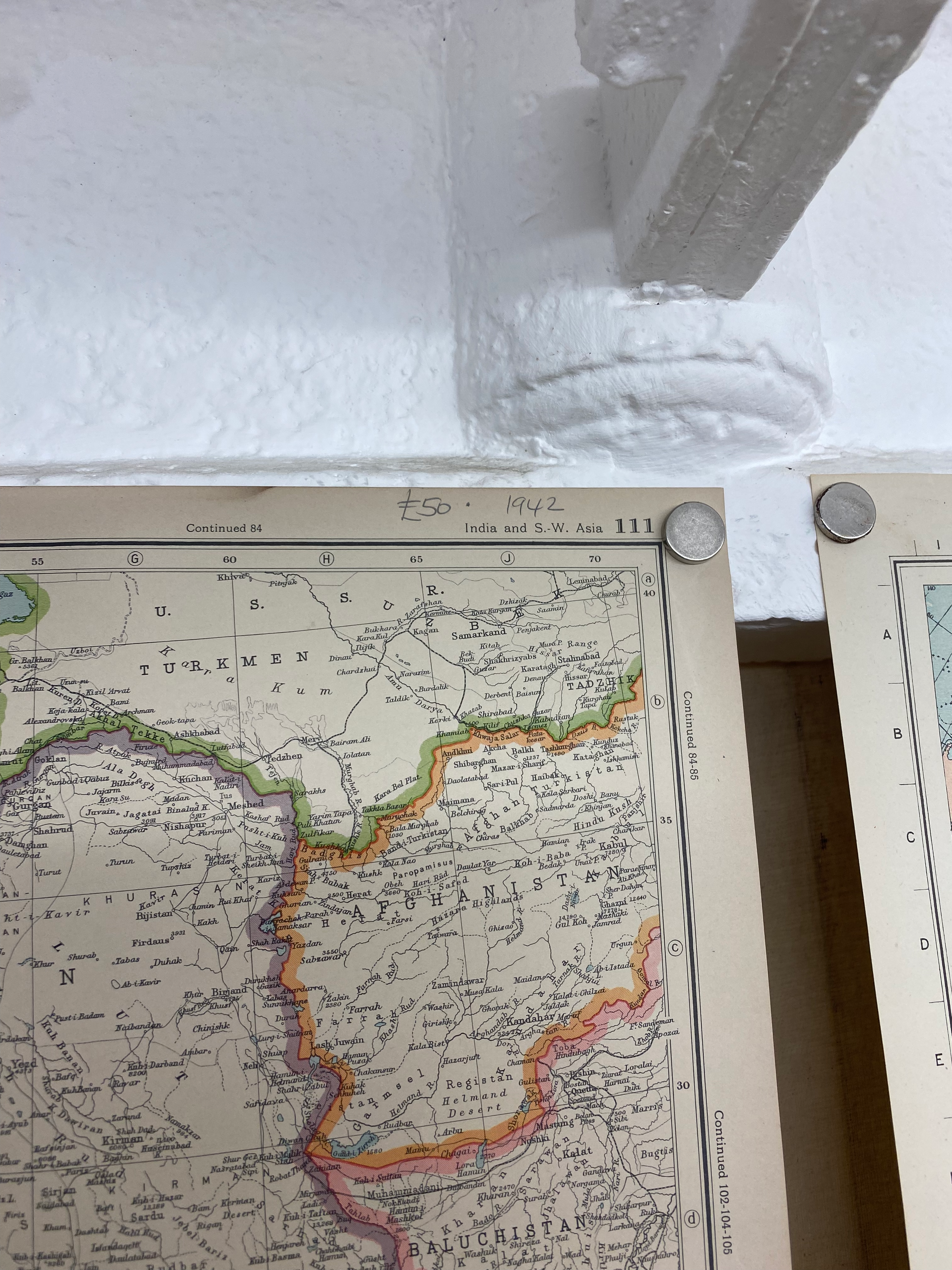
Here is a picture of the part of the map that shows the date of it (and its price):
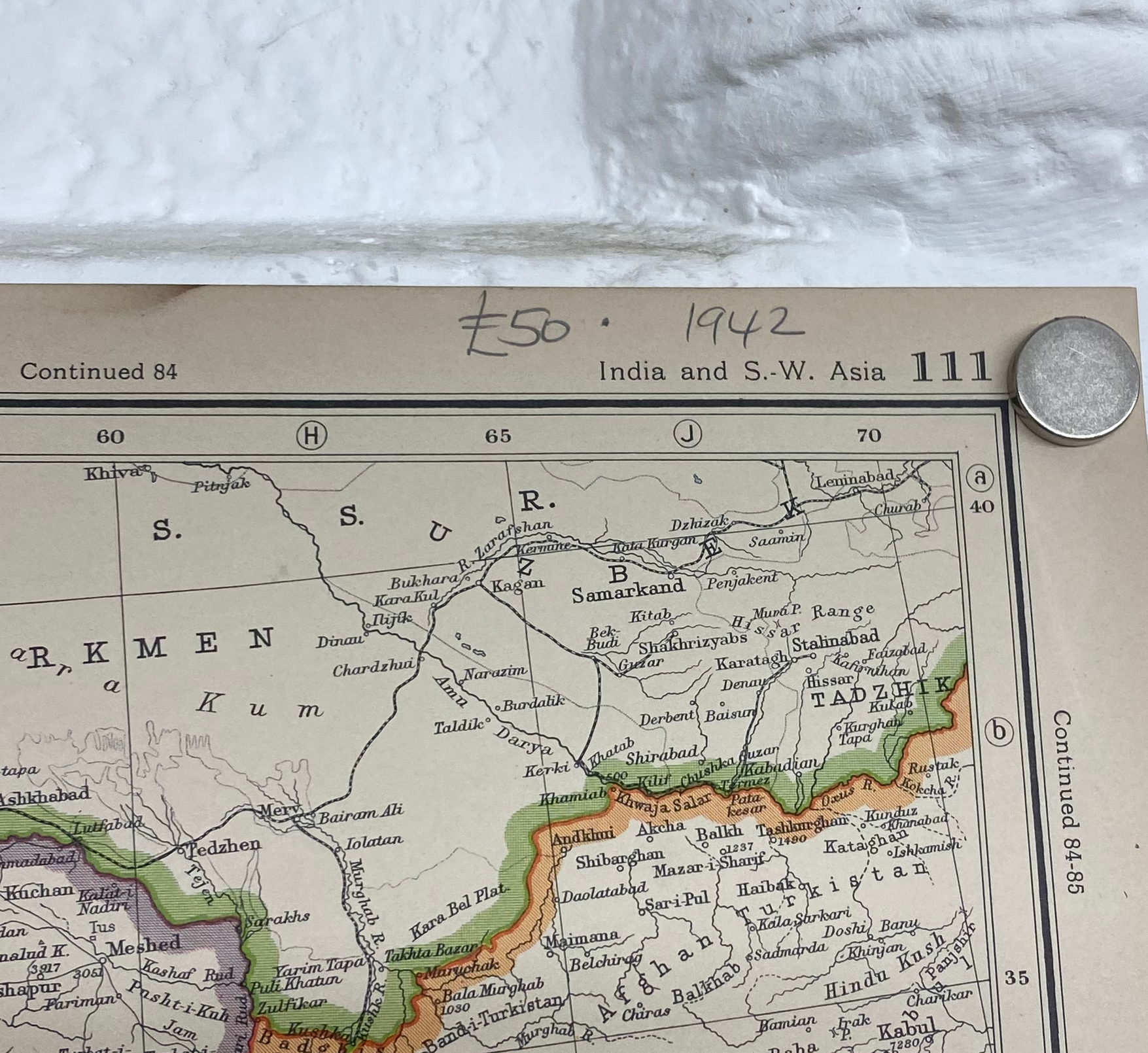
Here is a zoomed in picture of that:
So, I didn't buy it - I'm not that fanatical. I think it shows that as of 1942, this area was known as Palestine (it says to the side, "British Mandate"). So who is wiping who off the map? (it is a common statement by pro-Israel people that that's what the Palestinians want to do to Israel). I'd like to see peace, first of all. I don't feel qualified to say exactly what should happen there now but what has been happening is not it. I thought this was noteworthy because it's kind of physical evidence of something that is rarely spoken of.